Thursday, August 31, 2017

Another Fire Lookout, more Helicopters!


Ms Hailey and I had just gotten back from our latest camping trip in BC.  The grass was cut and the bird feeders filled when Forestry called again with a couple of temporary job offers!  Both were at fire lookouts in the north west – north of Peace River, Alberta.  The one tower I knew nothing about, but as luck would have it, out of some 127 active lookouts in Alberta, I have worked at 9 of them, some several times, and visited all of the ones in our home area.  I had worked at one of these towers three years ago and knew that it had a relatively large comfortable cabin, and the tower had also been replaced since my last visit.  So I agreed to go.

IMG_7640

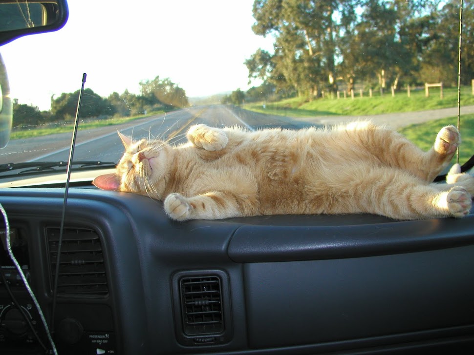
I convinced them to let me take my own truck and camper on the trip north, which would be much more comfortable and flexible than the usual rental vehicle.  Soon we were headed north, while watching for eclipses to overtake us!  Along the way the big GMC turned over 350,000km.  I figure it should just about be finished the ‘break-in’ period and be ready to perform to it’s full potential!

  IMG_8508

We checked in at the Fire Centre to find out what they had planned for me.  While there, I checked out the huge screens on the wall.  These displays can be configured to show all fires, lookouts, fire camps, fuel caches in any area of the province, as well as movements of all fire helicopters and bombers in real time.  I had the same displays when I was filling in at the Rocky air tanker base a couple years ago!  It’s kind of like a huge, real-life video game.  Way cool!

IMG_8511

Because we had the truck camper, we were not stuck in a hotel or fire camp for the night, but able to find our own quiet camp spot on the bank of the Peace River.  In the morning we found a bunch of brand new cupolas, soon destined to be atop a 100’ tower somewhere.  These are the tiny ‘offices’ occupied by lookouts all over the province.  When installed, they will have a fire finder in the center, leaving just enough space to walk around the outer edge.  During periods of high fire hazard, the lookout will be spending 11-12 hours a day in these.  When a lightning storm passes over, there you are the tallest metal structure around, and although well guarded by lightning rods, the term ‘sitting duck’ certainly comes to mind. 

IMG_8512

In fact, as I write this blog post, I am sitting right up there on top of the tower in the next two photos!

IMG_8536IMG_8534

At the airport, we met up with our ‘ride’, and everyone who didn’t fit in a seat belt got in their kennels, not always willingly.  But Hailey is a veteran flier, this being her 10th helicopter flight in the last few years!

IMG_8515IMG_8521IMG_8513

IMG_8516IMG_8520

We were soon cruising over farm and forest land on the way to the lookout.

IMG_8519IMG_8518

This lookout comes with a very nice spacious cabin (unlike some I have worked at), and like an RV it is powered by a combination of solar and generator electrical power with propane fridge and stove.  Water is collected from the roof for washing, but drinking water is flown in as required.

IMG_8533IMG_8604

Unlike older towers that had safety hoops surrounding the ladder, the new ones do not, so you are pretty much in the open as you climb.  You are attached to a cable with a harness, but it is not likely a good place to be if you are afraid of heights!

IMG_8534IMG_8544IMG_8545IMG_8537

It has been a busy week, with crews coming in to clear brush around the tower, or to day-base for fastest response to any fires in the area.

IMG_8594IMG_3536IMG_3528IMG_3512IMG_3510IMG_3506

IMG_3538IMG_8593IMG_8598IMG_8529

IMG_3558IMG_3547IMG_3552IMG_8585

When a storm passes through, wind is howling through the tower and the windows blasted by rain or hail, it can be a noisy affair.  Sometimes, you can barely see the ground below you.

IMG_8538

When the storm has passed, there are often lots of mist columns, know as ‘spooks’ that can look a lot like smoke.  And if there was lightning associated with the storm, there could be smokes as well!

IMG_3472IMG_3471

In the evenings, it is a pretty quiet spot, miles away from the nearest road or railway.  The northern lights made a few appearances, and I was able to take some time exposure photos with the big dipper as well.

G0099747G0089745G0109749

Being government, there is always a lot of paperwork, and Hailey is always willing to lend a paw to keep me from getting it done.

IMG_8608

IMG_8574IMG_8569IMG_8567

Any day now, the lookout will be closed down for the season, and Hailey and I will be headed for home to start preparing for our winter migration southward.  Of course, they might call us to fill in for a few weeks somewhere else further south with a longer fire season.  But we can always say No!


Tuesday, August 15, 2017

To BC and back.

For our next road trip, it seemed like a good time to go and do some lake camping in BC.  Much of BC is still very smoky from all the forest fires, but as long as you avoid the actual fire areas, it might not be too bad.

We headed west on the Trans Canada highway into British Columbia.  There were the usual wrecks along the way.

IMG_8390

After a night visiting with friends in Revelstoke, we headed south across the Galena Bay Ferry, then took the road south to Trout Lake.  After checking out a few possible spots on the lakeshore, it was great to find out that my favourite spot was vacant!  The water in the lake was low and getting lower, so there was lots of beach exposed.  The spot is completely private, and small, so once there you know you have it all to yourself.  Perhaps because of the smoke in the area and a fire ban in place, there may have been less people than usual recreating in the area.

vlcsnap-2017-08-15-10h27m00s477vlcsnap-2017-08-15-10h22m59s942IMG_3469IMG_3466

Lots of good exploration and hunting opportunities for Hailey.  She had a blast, chasing the squirrels, climbing trees, and watching the ducks.

IMG_3464IMG_3463IMG_3461IMG_3456IMG_3459IMG_3458

Smoke varied a bit from day to day, but it was always present.

IMG_3457IMG_3454

GoPro went underwater for a few shots …

vlcsnap-2017-08-15-10h32m31s739vlcsnap-2017-08-15-10h27m52s017

The only bugs around were horse flies, and I got pretty adept at swatting them.  The next users will find countless numbers of their carcasses buried in the sand!  Others were drowned in the lake.  Hailey helped out by catching any that got inside.

IMG_8400IMG_8396IMG_8392IMG_8391

The area is completely devoid of any cell service, and I don’t bother bringing my satellite system during the summer, so after 4 days it was time to move on and get updated on the fires, and any other news from the ‘outside’.

We stumbled onto the Jazz festival in Kaslo.

IMG_8411IMG_8414IMG_8415IMG_8416

We checked it out for a while, but it was hot, and parking anywhere in town was virtually impossible, so we decided to move on.  We headed out west towards New Denver, but then spotted a sign along the highway pointing to Buchanan lookout.  Working or not, it seems I am attracted to fire lookouts.  After a 12km climb on mostly good logging roads we arrived at the now closed fire lookout.  The last 2km were a bit on the rough side.

  IMG_8437IMG_8439

The lookout has not been used since 1982 Sad smile, but they have maintained it for interpretive purposes.  Although you cannot go inside the lookout cabin itself, you can see in all the windows at the setup that would have been in place when it was last used.

IMG_8434IMG_8431vlcsnap-2017-08-15-10h35m57s523vlcsnap-2017-08-15-10h34m48s225

There was an unused hang glider launch ramp.

IMG_8440IMG_8438

Even after the long drive out of town, and up the logging road to the lookout, it was still possible to hear music from the festival far below on the shores of Kootenay Lake.

IMG_8435IMG_8432

IMG_8442IMG_8443IMG_8441IMG_8448IMG_8447IMG_8446

While it was relatively cool on the mountain top by the lookout, next days travel had us back down in the valley bottoms where it was very hot.  I much prefer open windows and a breeze to air conditioning, but eventually it got so warm that I could not resist a refreshing swim in the river near Slocan.

After a few days south of Trail down along the Pend Oreille river, taking advantage of the AT&T signal coming across the line, we detoured around some new forest fires and motored back up through Nelson.  It was hot again, so a brief stop was in order at Kokanee Creek Provincial Park to cool off with another swim at the beach.  Later we took the Crawford Bay ferry across the south end of Kootenay lake.

IMG_8484IMG_8483IMG_8451

Watching carefully for another swimming spot, we found another quiet shore access location on a short, steep 4WD trail near Gray Creek.  It was very close to the road, but because of the ferry, there is only brief spurts of traffic.

Heading back homeward, we passed through Kootenay National Park where an out of control fire has been burning for weeks.  The highway has regularly been closed  to traffic during this time, but it was open when we got there.  Smoke was very very thick through the park where I used to work, and I was glad to keep on moving to Alberta where the smoke was much thinner.  By later in the day, we were unloading at home, for another visit.  It would prove to be a short stay again as Alberta Forestry called up again with a couple of different options if I wanted to get high in the north.  In a tower, that is …

IMG_8488